
Parbat District (पर्वत जिल्ला)
Nestled in the Gandaki Mid-Hills along the world-renowned Kaligandaki Gorge — the geographic heart of Frontline Nepal’s community work.
A District of Dramatic Canyons, Suspension Bridges & Agro Potential
The Parbat District is situated in Gandaki Province (Western Region) bordering Kaski to the East, Syangja to the South, Baglung to the West, and Myagdi to the North. Located between 28°00’19” to 28°23’59” N latitude and 83°33’40” to 83°49’30” E longitude.
Ranging in elevation from 520 meters at Setibeni to 3,309 meters at Hamal Dhuri, Parbat hosts a diverse micro-climate spanning sub-tropical valleys to temperate alpine ridges. This ecological range allows the cultivation of citrus, coffee, ginger, turmeric, and the famous indigenous Hog Plum (Lapsi).
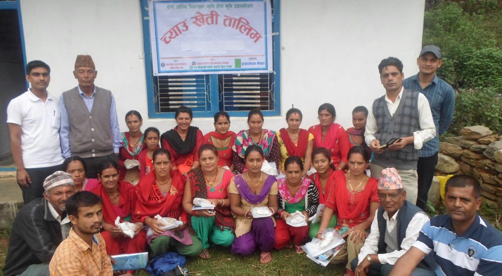
Why Local Enterprise Matters in Parbat
Home to the deepest gorge in the world (Kaligandaki Gorge)
Famous for majestic suspension bridges and the historic Kusma-Balewa Mechanical Cable Bridge
Rich in indigenous Lapsi (Hog Plum) orchards, organic ginger, citrus, and Himalayan herbs
Major tourist transit route connecting Pokhara to Muktinath and Mustang